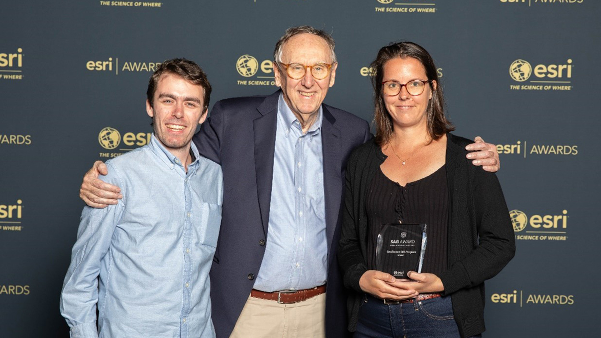
ESRI, the world leader in geolocation, presented Eramet with the Special Achievement in GIS Award on July 12, 2023, at the annual ESRI User Conference (ESRI UC) in San Diego.
This prestigious award recognizes Eramet’s pioneering use of mapping and analysis technologies, as well as its leadership in GIS (Geographic Information Systems) for the mining sector.
The award recognizes the Group’s commitment to sustainable mining practices, and highlights our innovative use of geospatial technology.
")
From left to right: Hani Zahiri, Geospatial IS Product Owner; Laouali Ada Aya, Geomatician; Jean-François Huet, Chief Information Officer; Carine Stolz, Geology & Mining Services IS Product Line Manager; Hugues Pascault, GIS Expert; Zineb Lamrani, GIS project manager.
At Eramet, geographical reality represents a twofold challenge:
- Our mines are located on different continents, in areas that are often difficult to access,
- Our activities are concentrated on well-defined sites, where teams with different functions operate.
The same data is therefore often used by several teams, both on site and remotely, and plays a vital role in short-, medium- and long-term operations. Eramet has set up geographic information systems to meet these needs and share data within the company.
Three platforms currently exist within the Group: GeoGCO, GeoComilog and GeoEramet (exploration and new projects). These personalized spaces, created by the GIS team (Group I&T department) in collaboration with the business lines and geomaticians at the various sites, enable data to be collected directly in the field.
Each subsidiary can thus gather reliable information from a variety of sources on its own platform. Then, thanks to visualization tools, Eramet teams can access customized dashboards. For example, the Environment team uses them to monitor water quality readings live, and uses them to discuss issues with relevant stakeholders.